Article
Air Quality Map
- PublishedAugust 3, 2026
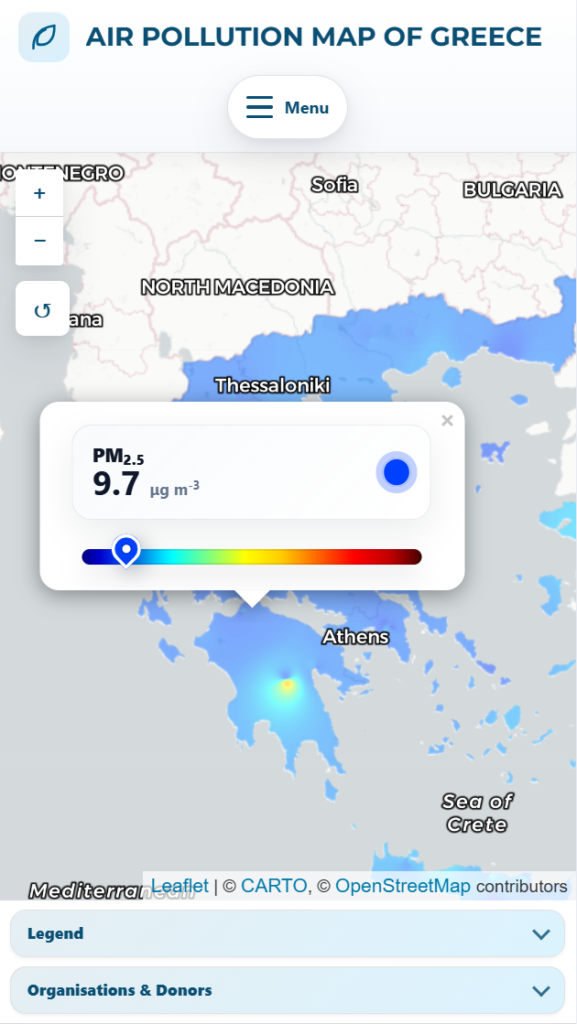
Made in the framework of the project PANSEN.
A spatially continuous view of air pollution, produced by interpolating the network’s measurements into a heatmap over the covered area rather than showing isolated points. Developed in the framework of the PANSEN project (Panhellenic aerosol measurement network), with a public preview available.
The material presented on this page is credited to the teams and institutions within which it was developed. Unless explicitly stated otherwise, this entry documents my participation in the creation of the work and does not constitute a claim of ownership; intellectual property rights are generally held by the collaborating institutes, universities or funding organisations. For clarification regarding a specific creation, please contact me.